
Utah Creates Location App For Hikers
Two cities in Utah have created a location app for hikers that will help SAR teams find the location of the hiker just in case a hiker gets lost.
“We divided the world into 3-meter squares and gave each square a unique combination of three words,” reads a company website description. “It’s the easiest way to find and share exact locations.”
Read more here
The name of the app is called "what3words". I think this is such a genius idea for hikers just in case they get lost, they can go to the app and call for help, that way, it would make it easier for SAr teams to come to find the missing hiker. I think people should definitely download this app if they are planning on going on a hike in the woods or the mountains, especially if they are going alone. Great work to the people who develop this app. Please be safe out there!
Related Post
 03
03 Feb
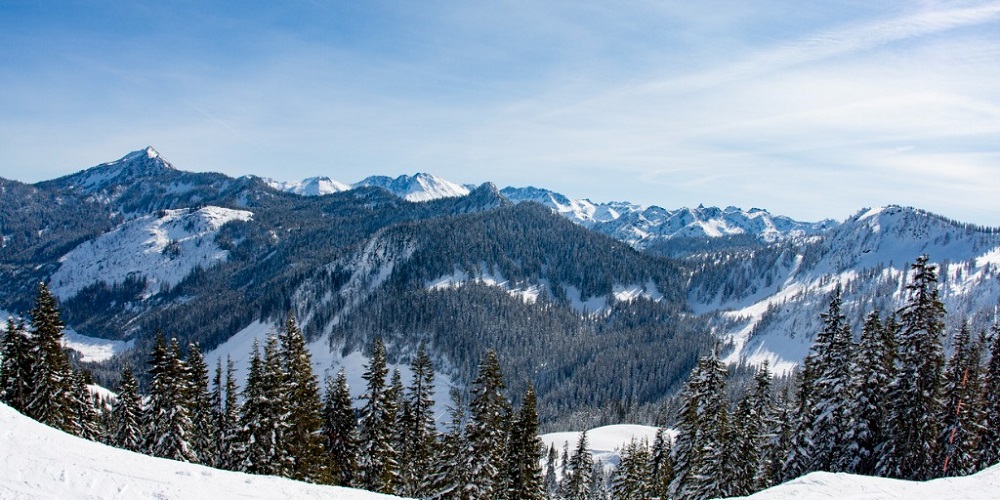
Unprepared Hikers Could Face A Heft Bill When Traveling To White Mountains
If you are an avid hiker living in New Hampshire and are planning to visit the White Mountains, you could face a large bill of up to $5,000 if you are
Read More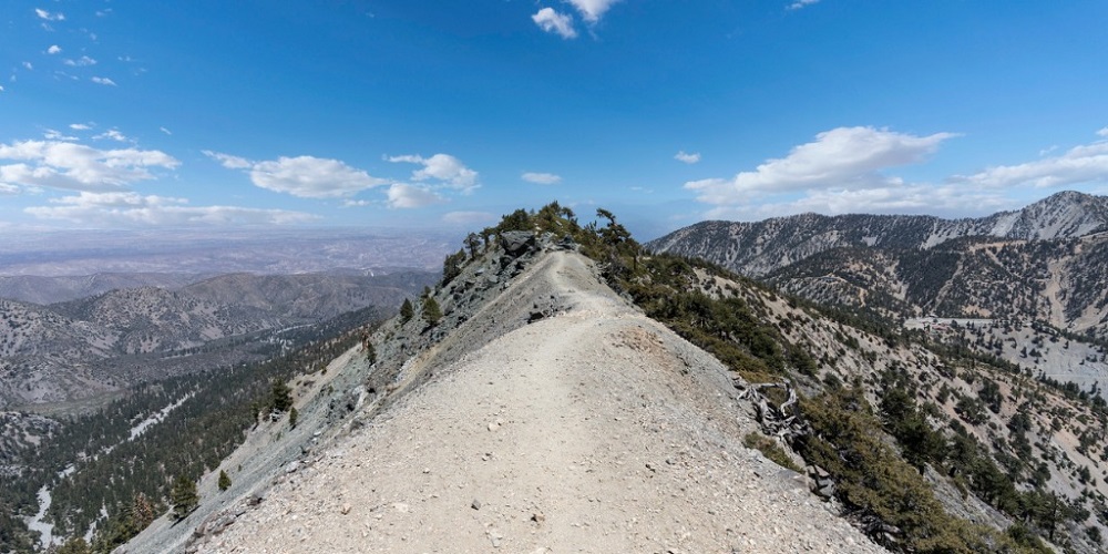 22
22 Jan
Hiking Permits May Be Coming For Hikers Traveling To Mount Baldy
Hiking permits could be coming for hikers traveling up Mt. Baldy after the recent incident that happened last month, which caused the death of three h
Read More 21
21 Oct
N.H. Fish and Game Insists Hiker To Pay For His Own Rescue
After SAR teams rescued a 23-year-old hiker near Franconia Ridge, N.H. Fish and Game insists that the hiker must pay for his own rescue due to being u
Read More 09
09 Oct
Hunter Finds His Way Home After Getting Lost Near Big Meadow
After getting dropped off by a friend in Big Meadow and getting lost hours later, a hunter has found his way back home safe as tips are provided for t
Read More